EPA launches mobile website to help users determine health of local waterways
The smart phone-friendly site reveals where pollution has been reported.
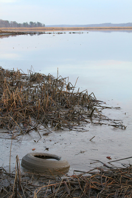
A paddler, a swimmer or a hiker itching to cool his tired toes can stand at the edge of a stream and judge the water. Is it clear? Is it clean? Are there critters at hand? But he won’t find an answer to his most basic question: How healthy is my waterway?
Enter the U.S. Environmental Protection Agency (EPA).
In celebration of the Clean Water Act, the EPA has launched a new website to help users learn more about the health of their local rivers, streams and lakes.
Using information gathered from state water quality monitoring reports, the smart phone and tablet-friendly site reveals where pollution has been reported and what is being done to reduce it.
Users can engage a smart phone’s GPS to list waters within a five-mile radius or enter a zip code or place name into a search box to check on locations throughout the United States.
A few quick searches for rivers and streams in the Chesapeake Bay watershed show polluted and unpolluted waters. Happy Creek in Front Royal, Va., was deemed polluted in 2008, harboring disease-causing bacteria and other microbes. But West Virginia’s Seneca Creek was assessed as unpolluted in 2010. Other waters remain “unassessed” or untested due to shortages in staff and funding.
The website’s simple descriptions and ultra-local perspective are meant to make science more accessible, understandable and relevant.
Learn more about How’s My Waterway.
Comments
There are no comments.
Thank you!
Your comment has been received. Before it can be published, the comment will be reviewed by our team to ensure it adheres with our rules of engagement.
Back to recent stories