
Seven leaf-peeping hotspots in the Chesapeake Bay watershed
Vibrant fall colors light up the Chesapeake
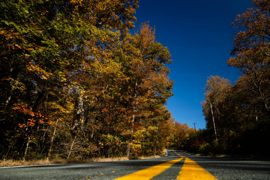
The Chesapeake watershed becomes a kaleidoscope of reds, oranges and yellows in the fall, making it the perfect time to explore. Whether you prefer going hiking, biking or launching a kayak, the watershed’s parks and forests are a great place to enjoy the vibrant season.
Pro tip: To plan your outing, find out when "peak fall foliage" occurs in your region with this map.
Here are some of our favorite sites to take in the changing colors of fall:
High Rock Trail, Worlds End State Park (Pa.)
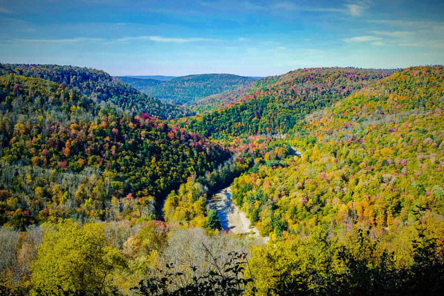
More than 20 miles of hiking trails at Worlds End State Park offer a rugged hiking experience. Many of the rocky trails and steep sections allow you to view the S-shaped valley of the Loyalsock Creek and its stunning fall foliage from above. The High Rock Trail is a great option for a tough but short climb up to High Rock Vista, one of the best overlooks in the park.
Turkey Point Lighthouse Trail at Elk Neck State Park (Md.)
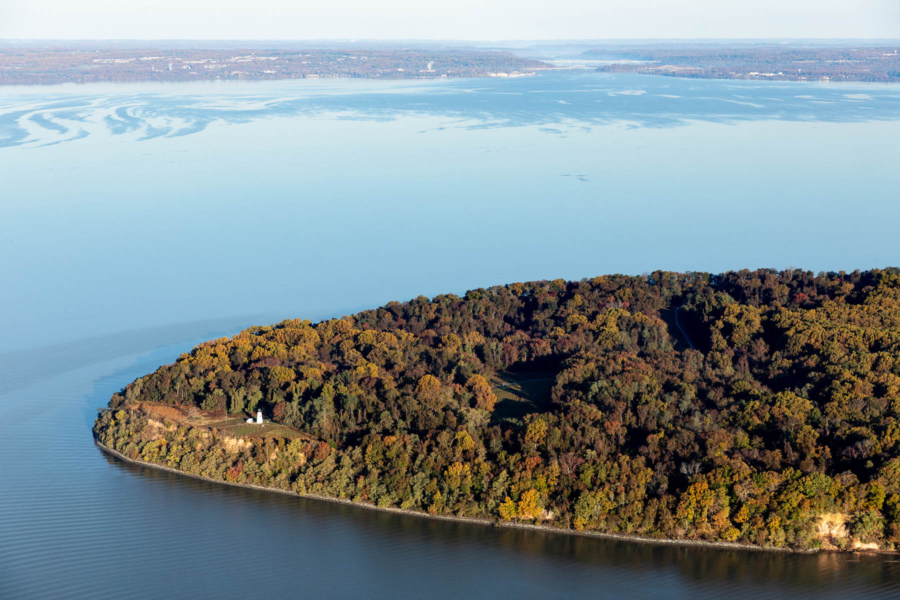
For a relaxed and family-friendly leaf-peeping experience, head to the Turkey Point Lighthouse trail. This 1.2-mile loop takes visitors through woods to the lighthouse perched atop a 100-foot bluff. You will get to see beautiful fall colors on one side and expansive coastal views of the Chesapeake Bay stretching out on the other. If you go on a weekend, you may even be able to climb up to the top of the lighthouse itself.
River Confluence Loop, Chenango Valley State Park (N.Y)
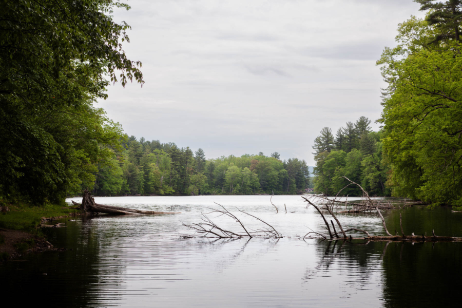
You will go through a mix of woodlands and grasslands on this 6.6-mile loop before reaching the serene Chenango Lake, which is a great spot for a picnic or snack break. The trail is mainly a packed-dirt path with the occasional rocky section.
Kayak Douthat Lake, Douthat State Park (Va.)
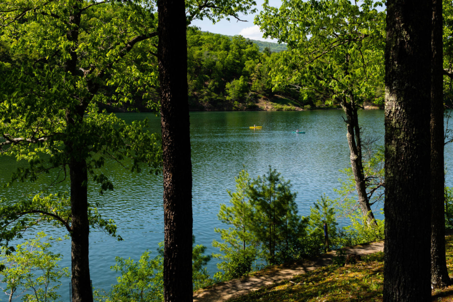
Rent an affordable kayak at the new (since August 2026) self‑serve kayak rental kiosk at Douthat Lake! Just make sure you download the app to process your rental payment before you arrive, as cell service can be spotty.
Swamp Trail, Theodore Roosevelt Island (Washington, D.C.)
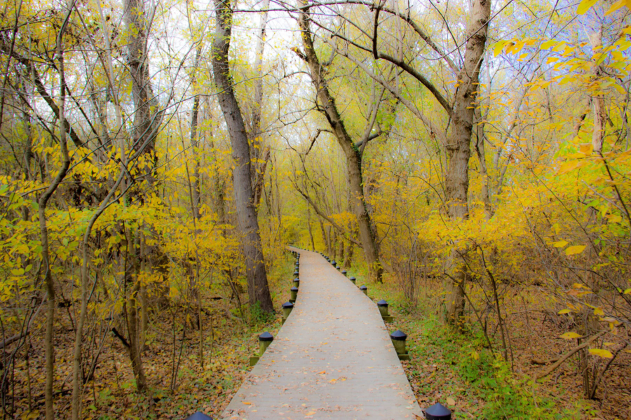
Nearly two miles of trails cut through this 90-acre park that offers great foliage views and vistas of the Potomac River and the Georgetown Waterfront. The Swamp Trail is the longest at 1.5 miles and passes through swampy woods and cattail marsh. This gorgeous oasis in the middle of D.C. is also accessible by metro; just take the Blue Line to Rosslyn and walk a half mile to the island.
Bob Trail, Trap Pond State Park (Del.)
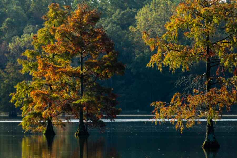
Trap Pond is home to the northernmost naturally occurring bald cypress swamp in the U.S. Bald cypress turns a coppery, fiery-red orange in the fall, making for a stunning and unique leaf-peeping experience. Take the Bob Trail, a fairly flat, 4.5-mile loop by foot or by bike, or rent a canoe or kayak to paddle through the bald cypress stands.
Eagle Rock, George Washington National Forest (W.Va.)
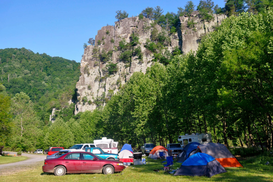
Harpers Ferry gets a lot of attention as a hot spot for fall foliage, but Eagle Rock provides stunning views of the Great North Mountain range. Depending on how long of a hike you would like to take, you can choose to start at either U.S. Route 48 / Virginia State Route 55 for a 7.2-mile out-and-back hike, or start from State Route 609 for a 2.1-mile hike. If you want the views without the traffic, this may be the hike for you.
Comments
There are no comments.
Thank you!
Your comment has been received. Before it can be published, the comment will be reviewed by our team to ensure it adheres with our rules of engagement.
Back to recent stories