Monitoring
Our cooperative monitoring program improves our understanding of water quality and living resources across the Chesapeake Bay watershed.
Monitoring water quality and living resources in the Chesapeake Bay and its tributaries allows scientists to observe environmental changes, track the progress of our restoration efforts and improve our understanding of the natural world. Our monitoring program began in the 1980s, and is a cooperative effort by federal agencies, watershed jurisdictions, academic institutions and local partners.

What does the Bay Program monitor?
Chesapeake Bay Program partners monitor freshwater flow; nutrients, sediment and chemical contaminants; physical, chemical and biological characteristics; and living resources. The program's water quality and living resource data are published on DataHub. Additional data, decision-support tools and other data resources can be found on ChesapeakeData.
Freshwater Flow
The U.S. Geological Survey (USGS) monitors freshwater flow at more than 120 stations across nontidal rivers and streams. Nine of these stations are designated River Input Monitoring (RIM) stations located at the fall line of major tributaries entering the Bay.
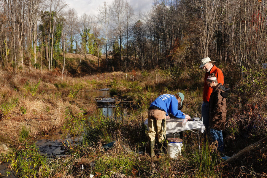
Nutrients and Sediment in Nontidal Rivers and Streams
As part of our Nontidal Water Quality Monitoring Program, state partners in Maryland, Virginia and the District of Columbia monitor nitrogen, phosphorus and suspended sediment in the Bay and its tidal tributaries. The USGS, working in partnership with state agencies, monitors nitrogen, phosphorus and sediment in nontidal rivers and streams. The USGS estimates trends, or changes over time, in nutrient and sediment loads.
Chemical Contaminants
State partners in Maryland, Virginia, Delaware and the District of Columbia monitor chemical contaminants in fish tissue, sediment and the water column to identify where state criteria for contaminants have been exceeded. Under the Clean Water Act, waters with fish tissue contamination or other impairments at levels that exceed a state’s water quality criteria must be listed as impaired.
Dissolved Oxygen, Temperature and Salinity in Tidal Waters
As part of our Tidal Water Quality Monitoring Program, state partners in Maryland and Virginia monitor water quality parameters at more than 45 stations in the Bay's mainstem. Stations are sampled twice each month in June, July and August and once each month the rest of the year. Hydrographic profiles are made at approximately 1- to 2-meter intervals at each station. Water samples are collected for chemical analysis at multiple depths, including the surface and bottom. Correlative data on sea state and climate are also collected.
Submerged Aquatic Vegetation (SAV)
Our SAV Monitoring Program involves three tiers of data collection. The Bay-wide Aerial Survey is conducted by the Virginia Institute of Marine Science, and reports SAV acreage and density. The SAV Watchers Program enlists volunteers in observing and reporting characteristics of SAV habitat. And the SAV Sentinel Site Program collects detailed data about SAV habitat and indicators of resilience at representative locations across the Bay.
Plankton
State agencies in Maryland and Virginia monitor plankton in the Bay and its tidal tributaries. These monitoring programs measure chlorophyll-a concentrations and the abundance and make-up of plankton communities.
Benthic Macroinvertebrates
State agencies in Maryland and Virginia monitor benthic species abundance in the Bay and its tidal tributaries. These monitoring programs provide information about benthic conditions, including taxonomic identifications and counts of species, determination of sample biomass, sediment analysis and hydrographic profiles.
Federal, state, regional, local and academic partners also collect benthic macroinvertebrate data from non-tidal streams and wadeable rivers. These data are used to compute the annual Chesapeake Basin-wide Index of Biotic Integrity, or Chessie BIBI: an indicator of local stream health.
How does the Bay Program ensure the quality of its data?
Water quality and living resource data providers must establish and implement a quality system, often described in two formal documents: a Quality Management Plan and a Quality Assurance Project Plan.
- Quality Management Plans (QMPs) describe the structure of an organization’s Quality Program.
- Quality Assurance Project Plans (QAPPs) document the technical and quality aspects of a project, specifying monitoring objectives, sampling design, data collection, data analysis, data management, quality control and validation.
All QMPs and QAPPs are reviewed and approved before data collection and/or compilation activities begin. Quality assurance, metadata and other documentation about specific data programs are available on DataHub. Quality assurance for tidal and nontidal water quality monitoring can be found in Methods and Quality Assurance for Chesapeake Bay Water Quality Monitoring Programs (PDF).