
Five ways to explore the James River Park System
A park system connects tourists and residents with a major Chesapeake Bay tributary
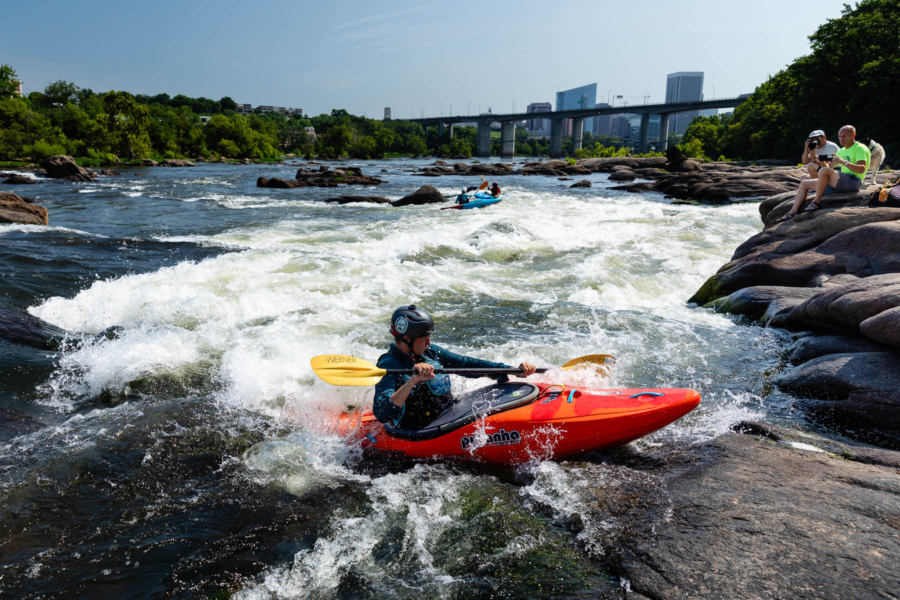
For more than 50 years, the James River Park System in Richmond, Virginia, has connected residents and tourists with over 600 acres of recreational activities in the state capital.
Dubbed “Richmond’s Natural Playground,” the park system links together islands, wooded parks, hiking trails, historic sites and shorelines along the James River as it flows from rocky Class IV rapids to gentle nontidal waters.
The park system is an inspiring example of how to design city life around a river while preserving important natural areas. Below are just a few highlights.
Belle Isle
Connected to the mainland by a pedestrian suspension bridge hanging beneath the Lee Bridge, Belle Isle might just be the crown jewel of the park system. The 54-acre island offers a mix of rock climbing, mountain biking, hiking trails and historical markers like the remnants of a 19th-century iron foundry and Civil War prison camp. The island’s most prominent feature is a series of flat granite rocks along the water where visitors can sunbathe or picnic while facing a beautiful view of the city.
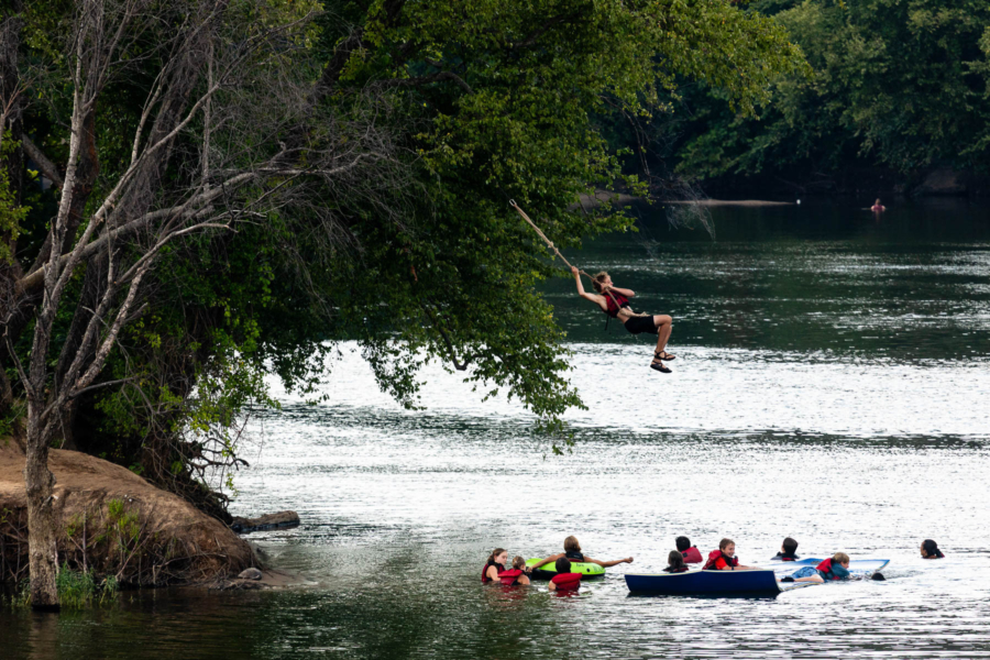
Brown's Island
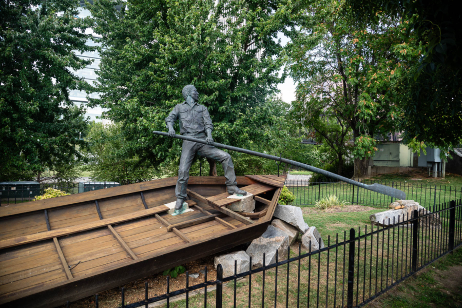
Though currently closed for renovation until October 2026, Brown's Island is a popular six-acre park on Richmond’s downtown riverfront that hosts major outdoor concerts, festivals and community events throughout the year. The park is accessible via multiple bridges, with a train on historic trestles running between the park and the James River. The park has become an important place for reflection as it includes a series of stunning statues honoring the early contributions of African Americans to commerce in Richmond and of slavery in the United States.
Chapel Island
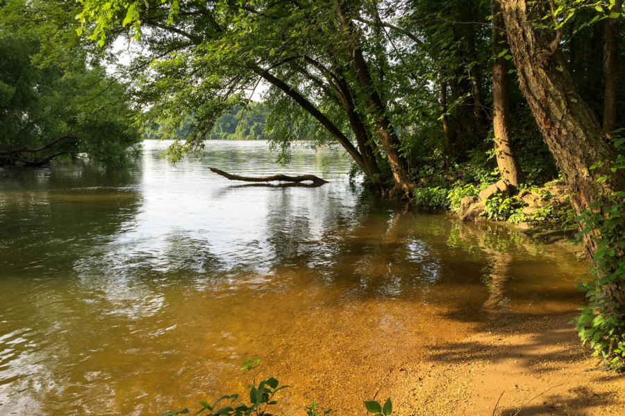
Named after the Episcopal chapel once located there, Chapel Island is a small park on North Bank, just below the fall line of the James River and east of downtown Richmond. The river is calmer here, making it a quieter and secluded place to fish, birdwatch or launch a kayak. Environmental groups such as the Friends of the James River have been restoring wildlife habitat on the island by removing invasive plants and planting native trees.
Floodwall Park
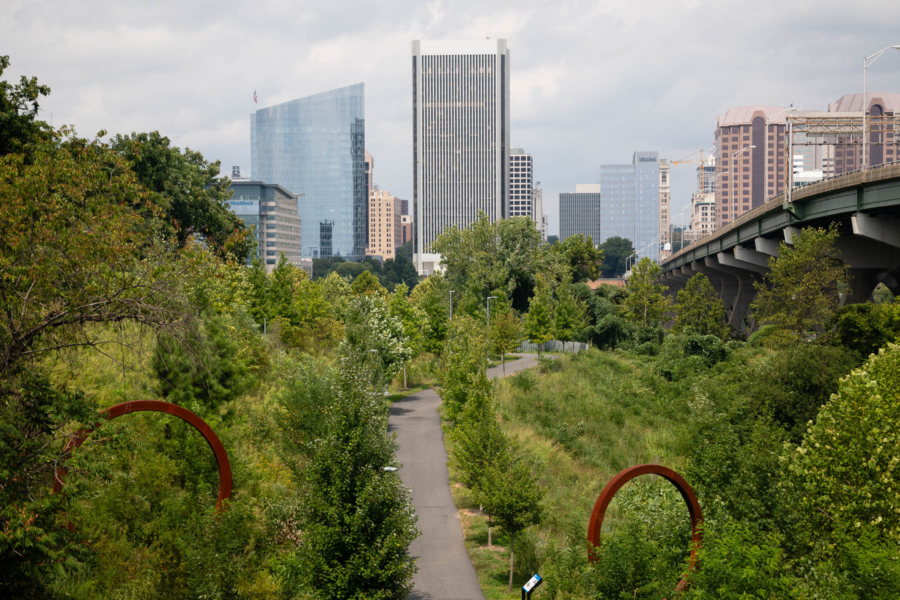
Richmond’s floodwall along the James River was built in 1995 to protect low-lying neighborhoods like Shockoe Bottom and Manchester from extreme weather events. Today, visitors can run or stroll on a paved trail on top of the floodwall, offering beautiful views of the park and city skyline. Below the wall is a grassy park that connects to different trails in the city and the iconic 14th Street Bridge. This area offers more views of the river to look for osprey hunting on the water or kayakers paddling past.
Great Shiplock Park
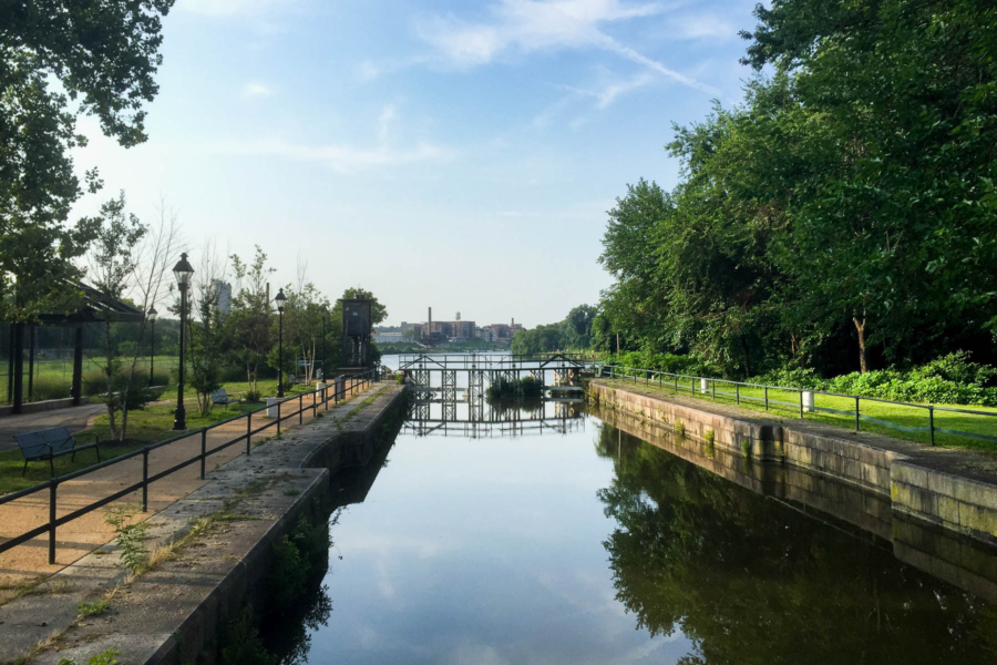
Marking the spot where the river transitions from freshwater rapids to a tidal estuary, Great Shiplock Park sits on the site of a historic 19th-century ship lock that boats used to bypass the falls. Visitors can now find a greenspace along the Kanawha Canal that runs parallel to the James River. Great Shiplock Park underwent a major renovation in 2013 and was added to the Virginia Capital Trail that connects walking and biking trails through the city.
Have you visited any of these parks or others in and around Richmond? Let us know in the comments!
Comments
There are no comments.
Thank you!
Your comment has been received. Before it can be published, the comment will be reviewed by our team to ensure it adheres with our rules of engagement.
Back to recent stories