Maps
Browse through maps depicting Bay health and restoration, including pollution trends, public access sites and more.
Public Access Sites 2011
Date created: November 28, 2012Existing public access sites in the Chesapeake Bay watershed as depicted in the 2012 Chesapeake Bay Public Access Plan
View map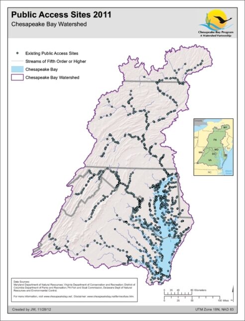
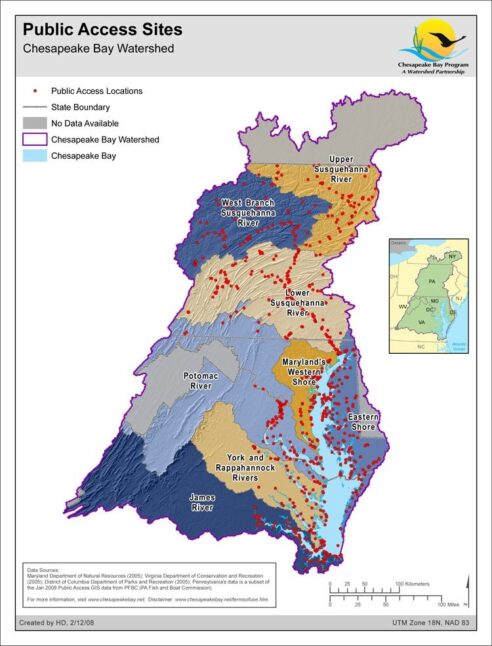
Public Access Sites
Date created: February 12, 2008Major public access sites within the Chesapeake Bay Watershed. The map's purpose is to enable people to find locations offering opportunities for boating, fishing, swimming, walking or hiking, wildlife observation and beach use.
View map