Chesapeake Bay Program releases best management practice guide
New guide explains conservation practices and how they impact modeling water quality in the Bay
Earlier this month, the Chesapeake Bay Program released the Quick Reference Guide for Best Management Practices. This guide distills information about the Bay Program’s hundreds of approved best management practices (BMPs) into fact sheets for farmers, landowners, planners, resource managers and conservation districts.
BMPs are actions that people can take to prevent pollution from entering their local waterways. This includes things like planting cover crops, managing manure, creating forest buffers, not tilling and restoring urban streams.
Two major sources of pollution pose problems for the Chesapeake Bay. Stormwater pollution comes from the water that runs off buildings, roads, parking lots and other hard surfaces. It can wash pollution, chemicals and trash into nearby waterways. Increased development has made stormwater runoff the fastest growing source of pollution to the Chesapeake Bay.
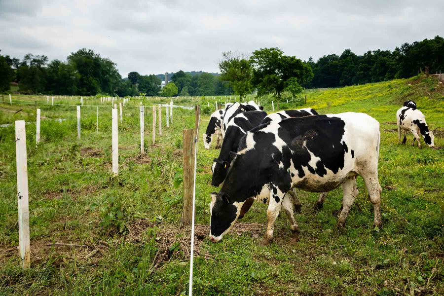
Agriculture, while vital to our well-being, is the greatest source of nutrient and sediment pollution to the Bay. Farmers across the Chesapeake have already committed to implementing conservation practices to help prevent pollution from flowing into local waterways, but, according to a recent report by the Chesapeake Bay Commission, the technical resources they need to implement these practices are not widely available. On August 8, the Chesapeake Executive Council signed a directive supporting increased funding for farmer technical assistance.
This BMP guide not only gives basic information about each of the Chesapeake Bay Program-approved BMPs, but also explains how the six Bay states—Delaware, Maryland, New York, Pennsylvania, Virginia and West Virginia—and the District of Columbia can receive credit for them in the Bay Program’s Watershed Model. The six states and D.C. can receive credit toward meeting their pollution reduction goals under the Chesapeake Bay Total Maximum Daily Load (Bay TMDL) when these BMPs are implemented, verified and reported for input to the Watershed Model.
Knowing how BMPs are credited in the model is useful for state and local officials putting together Watershed Implementation Plans (WIPs). The six states and D.C. develop WIPs, in consultation with local governments, in order to plan how they will reduce nutrient and sediment pollution in order to meet goals laid out in the Bay TMDL.
Comments
Very helpful! Using it for my upcoming science project planning ahead!!! Thank you so much. I will not forget to credit you guys and leave a link directly to this website this could lead me to a good grade thx.
Thank you!
Your comment has been received. Before it can be published, the comment will be reviewed by our team to ensure it adheres with our rules of engagement.
Back to recent stories