Acres of protected land in the Chesapeake Bay watershed hits 9.1 million
Chesapeake Bay Program is on course to achieve its Protected Land Outcome

As of 2022, data collected by the Chesapeake Bay Program show that 9.1 million acres of land in the Chesapeake Bay watershed—roughly 22% of the total land in the region—are permanently protected from development.
The Chesapeake Bay Program works to extend the acres of protected lands through its Protected Lands Workgroup, which is led primarily by the National Park Service and includes representatives from state and federal agencies, nonprofits and local governments. In 2010, the partnership set a goal to protect an additional two million acres of land on top of what had been previously protected across the watershed. In particular, the goal calls for 225,000 acres of wetlands and 695,000 acres of forest.
As of 2022, nearly 1.64 million acres have been added since 2010, achieving 82% of the Protected Land Outcome in the Chesapeake Bay Watershed Agreement. The overall Protected Lands Outcome is expected to be achieved by its 2025 deadline.
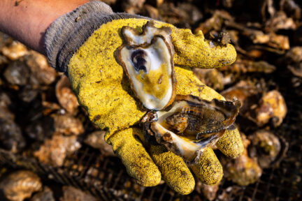
Protected lands are areas throughout the Chesapeake Bay watershed with cultural, historical, ecological and agricultural value that have been permanently protected from development. Chesapeake Bay Program partners secure land conservation by holding easements, accepting donations and purchasing properties and development rights. Land conservation is one of the best ways to protect the health of the Bay watershed amid a growing population. When protected from development, forests and wetlands can improve water quality, provide habitat for wildlife, preserve the region’s history and culture, offer outdoor recreation opportunities and make communities more resilient to the impacts of climate change.
State agencies, which own approximately 45% of the protected acres in the watershed, are the largest entity contributing to land protection. The states often work closely with private organizations, non-governmental organizations (land trusts and others), local governments and other entities to conserve the land. The second largest entity contributing to land conservation in the Bay watershed is the federal government, which holds approximately 22% of protected acres.
The Chesapeake Bay Program is on course to meet its Protected Lands Outcome by 2025, which will require adding roughly 130,000 acres of protected lands each year. To meet this goal, the partnership will focus on increasing funding, incentives and mechanisms for protecting conservation priorities, growing the capacity and effectiveness of land trusts and enhancing public support for and engagement in land conservation, among other strategies. Additionally, in 2021, the Chesapeake Executive Council signed Directive No. 21-1 Collective Action for Climate Change, in which they committed the partnership to conserving 30% of the watershed’s lands and waters by 2030, meeting the national goal set by President Biden in January 2021.
Facts
Of the 9.1 million acres of protected land in the watershed, 76% or 7,438,317 acres are forested and 455,853 acres are wetlands. Of the wetland acres, 176,071 of those are non-forested and 279,782 are forested (i.e., swamps).
Pennsylvania currently has the greatest number of protected lands in the watershed at 3.6 million acres. They are followed by Virginia with 2.9 million acres, Maryland with 1.7 million acres, West Virginia with about 440,000 acres, New York with about 332,000 acres, Delaware with about 126,000 acres and the District of Columbia with 8,700 acres.
Watershed-wide, protected lands have increased about 19% from 2011 through 2022. While some increases in acreage can be attributed to improvements in data collection—for instance, by reporting previously protected but newly digitized, corrected or refined parcels of land—the data indicates a general increase in protected lands in the watershed over time. Due to the changing nature of development pressures, conservation incentives, funding for land acquisition and political and public sentiment, experts anticipate some variation between the number of additional acres that are protected each year.
Issues
In order to track progress toward its Protected Lands Outcome, the Chesapeake Bay Program utilizes datasets developed both in and outside of the partnership. Improvements to the Protected Areas Database of the United States (PAD-US), the authoritative source for federally protected lands, resulted in certain federal and tribal land as no longer being counted as “protected.” This version of the database, released in 2022, restructured the categorization of protected land type and changed the calculations of protected lands not only for newly added lands, but also for earlier reporting periods. While this decreased the current total number of acres of protected lands reported, it provides more accurate information and the outlook to reach the outcome target by 2025 remains on course.
Importance
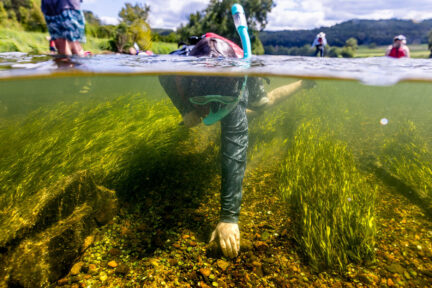
For decades, our partners have permanently protected lands with cultural, historical, ecological and agricultural value by holding easements, accepting donations and purchasing properties and development rights. Because protected lands can support sustainable fisheries and wildlife habitat, protect clean water and healthy watersheds, and preserve our cultural values, putting land under protection is one way to ensure the watershed withstands population growth and sustains the plants, animals and people that live here.
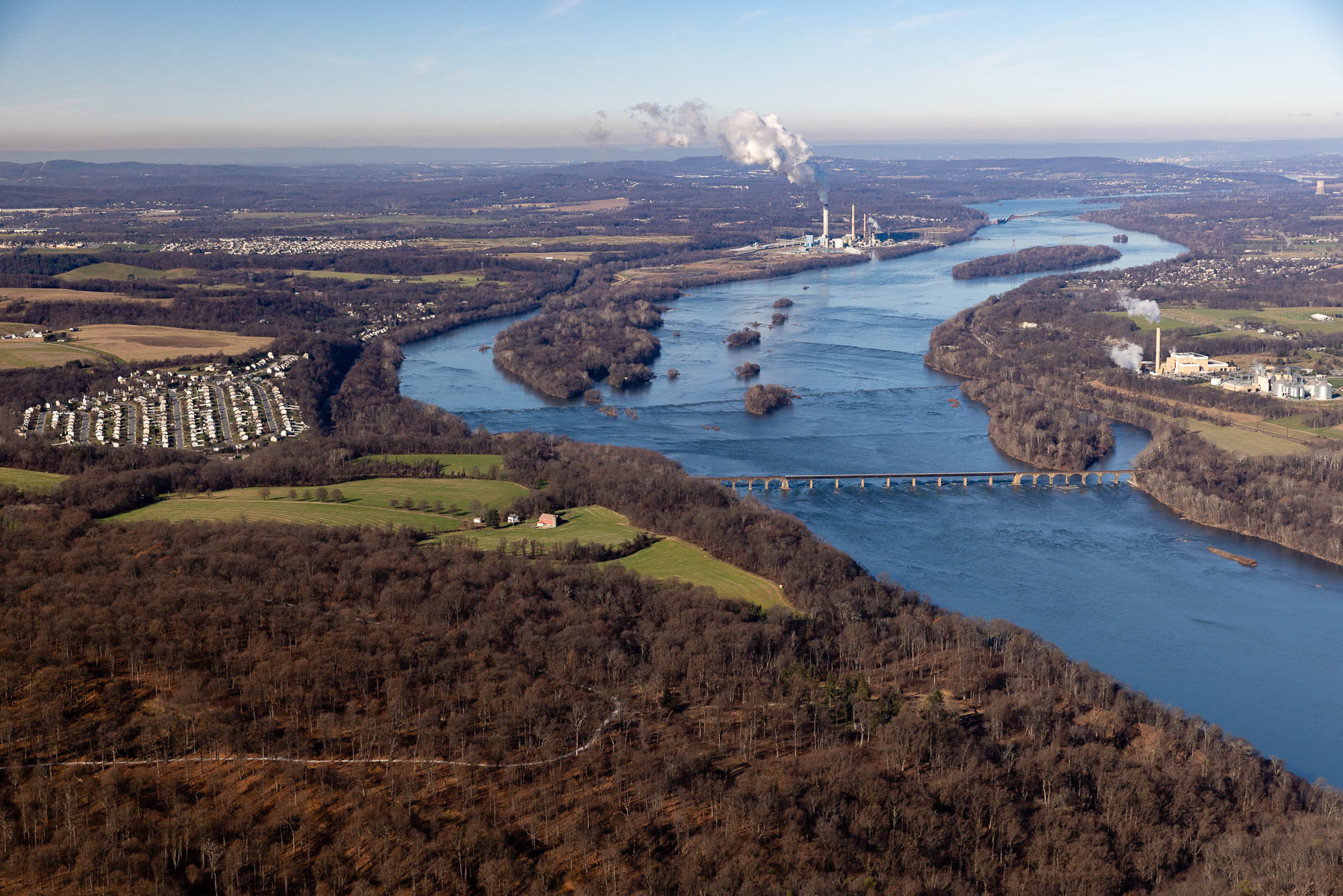
Tracking our progress toward protecting land from development is also critical to understanding our progress toward enhancing climate resiliency. Protected lands prevent the expansion of paved surfaces that can exacerbate upstream floods, as well as increased nutrient pollution caused by stormwater runoff. Along the coast, protected lands guard against floods and sea level rise. For these reasons, protected lands help us prepare for some of the disruptions climate change can cause.
Quotes
“Protecting land is a priority for Pennsylvania to help meet its goals to provide close to home recreation for all residents, help address the impacts of climate change, enhance the Commonwealth’s recreation economy, and expand and restore wildlife habitat. DCNR is proud to work with partners in the Chesapeake Bay Watershed to advance land protection goals that help improve water quality, and so much more.”
- Cindy Adams Dunn, Secretary, Department of Conservation and Natural Resources, Commonwealth of Pennsylvania
"The Maryland Department of Natural Resources is excited that the updated Protected
Lands data is now available. This information will highlight the conservation
achievements reached so far and assist the many conservation partners working in the
Chesapeake Bay watershed moving forward. The Maryland the Beautiful Act has set
goals to protect 30% of lands in Maryland by 2030 and 40% by 2040. This crucial,
ongoing conservation work allows us to preserve, protect, restore, and enhance our
important and breathtakingly beautiful natural resources."
- Cheryl Wise, Supervisor, Program Open Space Stateside, Department of Natural Resources, State of Maryland
“Land conservation plays a crucial role in preserving the environmental integrity of the Chesapeake watershed. By protecting these landscapes, we can ensure that the region's cultural and natural resources remain preserved, and that habitats for countless species, including aquatic ecosystems, are maintained. It is our responsibility to work towards this goal, so that future generations can continue to benefit from the ecological richness of this area.”
- Aurelia Gracia, Protected Lands Workgroup Coordinator and Outdoor Recreation Planner, National Park Service
“Since 2010, stakeholders have been working hard on the goal to protect an additional two million acres by 2025. Using the latest data and technology, Chesapeake Conservancy’s geospatial analysts assessed land conservation progress. The good news is that the data shows that we’re largely on track to meet the 2025 goal, but the reality is that it’s time to move the goalpost. The world’s leading scientists are calling for dramatic increases in conservation efforts to conserve 30% of the Earth’s lands and waters by 2030, which President Biden responded to with an executive order for the United States. To achieve that goal here in the Chesapeake, we will need to increase the annual rate of conservation by 350%. It’s a massive, but achievable, undertaking and one that is paramount to the future sustainability of our watershed."
- Joel Dunn, President & CEO, Chesapeake Conservancy
Recent Press Releases
Annual Chesapeake Bay Awareness Week celebrates a watershed “Built by Nature, Protected Together”
A mild dead zone is expected for the Chesapeake Bay this summer
Chesapeake Bay Program Provides Final Snapshot of Progress Under 2014 Watershed Agreement