Press Center
Learn about the Bay Program's latest progress in our science and restoration efforts.
Recent Press Releases
Annual Chesapeake Bay Awareness Week celebrates a watershed “Built by Nature, Protected Together”
June 4, 2026The 11th annual event will take place from June 6-14, 2026
Read story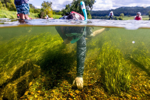
A mild dead zone is expected for the Chesapeake Bay this summer
May 19, 2026Below-average nutrient runoff is predicted to result in better conditions for Bay marine life
Read story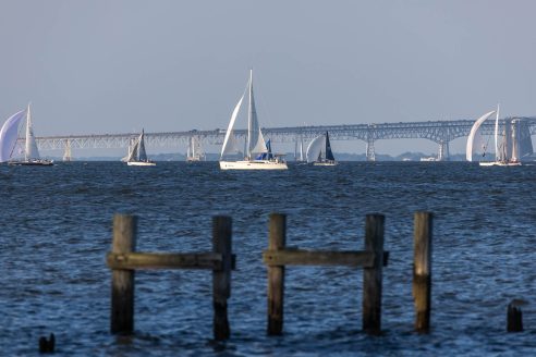
Chesapeake Bay Program Provides Final Snapshot of Progress Under 2014 Watershed Agreement
March 4, 2026The 2024-2025 Bay Barometer tracks restoration progress across the watershed
Read story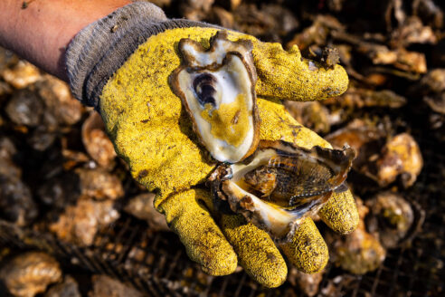
Chesapeake Bay Program partners protect more than 9.2 million acres of land across watershed
January 15, 2026Partnership achieves 90% of the goal to conserve lands in the region
Read story
Chesapeake Executive Council Approves Revised Watershed Agreement, Ushering in the Next Era of Bay Restoration
December 2, 2025Partnership tasked with recommending how to best include Indigenous tribes and knowledge moving forward; Pennsylvania Gov. Josh Shapiro elected chair
Read story